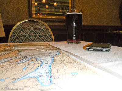
A few weeks ago our club, KNL, held a navigation brush-up course I guess you would say. So like all courses there are essential components.
a) You need a nautical chart!
b) You don’t need an Iphone with a digital compass. : )
c) You most definitely need a Guinness
Throw in some people eager to find out where they may be going on the water and how is the best way to get there. Knowledgeably of course. Guinness burp!
OH YES! You need and educator. Richard Alexander shown here sharing his knowledge of on water navigation. A nice instruction session and always something to take away.
There was some debate about using topo maps or nautical charts for navigation on the water. It only seems logical to me to use nautical charts but there is pros and perhaps some cons for one more than the other but I guess in the end whatever works for you under the circumstances may be your best option. For me it is nautical charts on the water and topos on the land.


1 comment:
I'm from the topo side of the house. however I pen in important depths and reefs etc onto the topo map freehand.Usually i just use a permant stadler marker and erase it off my map with bug spray once I get home.
Post a Comment